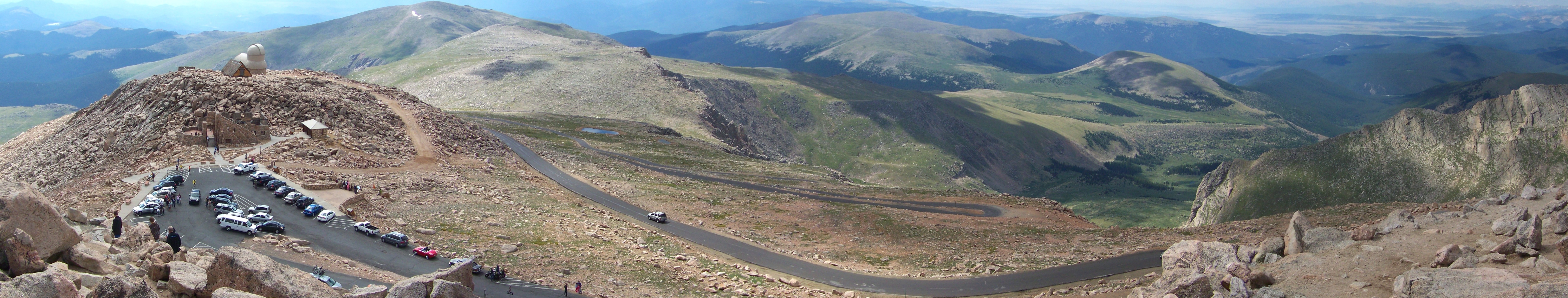
Mt Evans parking lot seen from summit. Photo by Footwarrior
I first stood atop Mt Evans in 1997, after an amazing car ride up the highest paved road in the United States. The Mt Evans road first opened in 1931, and was planned as a segment of a 150-mile road linking Longs Peak (14,259′) to Pikes Peak (14,114′). Alas, the road yet extends only 14.5 miles to just below the Mt Evans summit at 14,130′, fulfilling a 100-year-old prophecy to become, “…a road that starts nowhere, ends nowhere, and never gets there” (W.F.R. Mills, Commissioner of Improvements, 1915).
But as far as cycling is concerned, it is certainly enough.

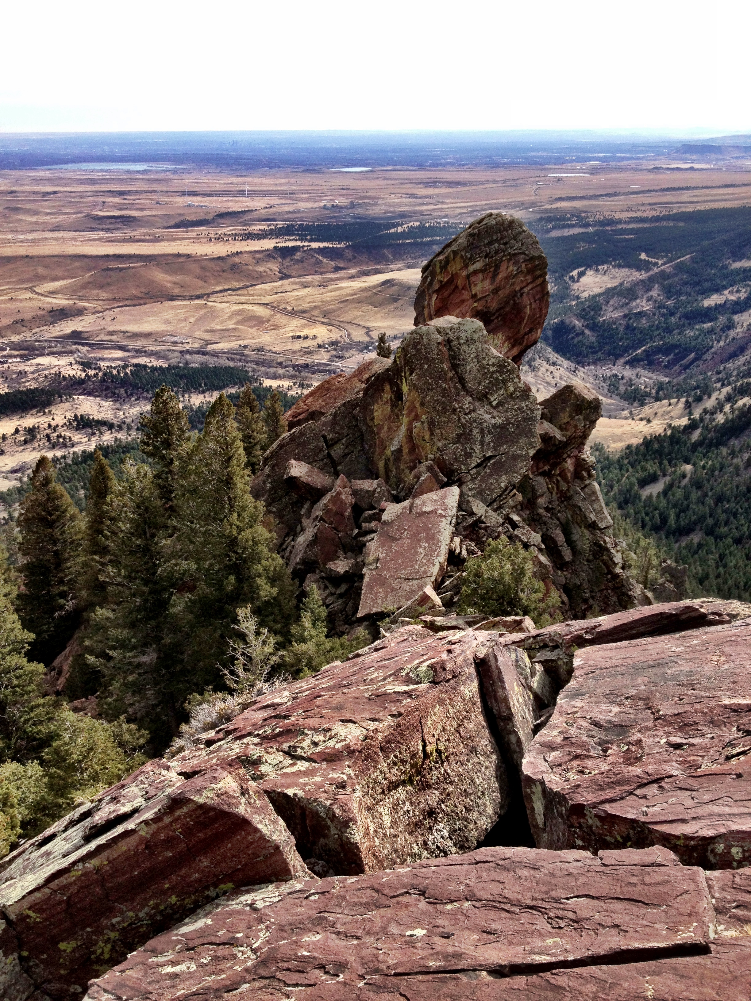
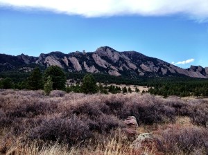
Official course map
Prior to 2014, I had returned to the Mt Evans summit four times to hike or climb some snowy aspect of the mountain. The last time I did so was 10 years ago, in May 2004, when my good friend Brian tricked me into riding my old mountain bike from the parking lot at Echo Lake (10,500′). The excuse was the Forest Service road would be closed to car traffic for the day due to recent snow fall, and we could have the road to ourselves for once.
The affair was total misery for me (and a funny story) as I was not nearly in shape for powering an old, heavy bicycle up 7 miles of steep road carrying an extra 50 lbs of blubber and snow climbing gear (click to see and laugh about my Mt Evans Climb and Bike Ride trip report). I have long desired to return to do it right, and reclaim a bit of my dignity.
I waded and crawled, I rolled and hopped, I cursed and yelled. And then I finally lost my cool completely and swore out loud that I’d never do another snow climb.
With my last drop of energy, I crawled onto the road; and then I stood up, collected myself once more, and thought, “that was a good bit of exercise.”
~ excerpt from Mt Evans Climb and Bike Ride trip report

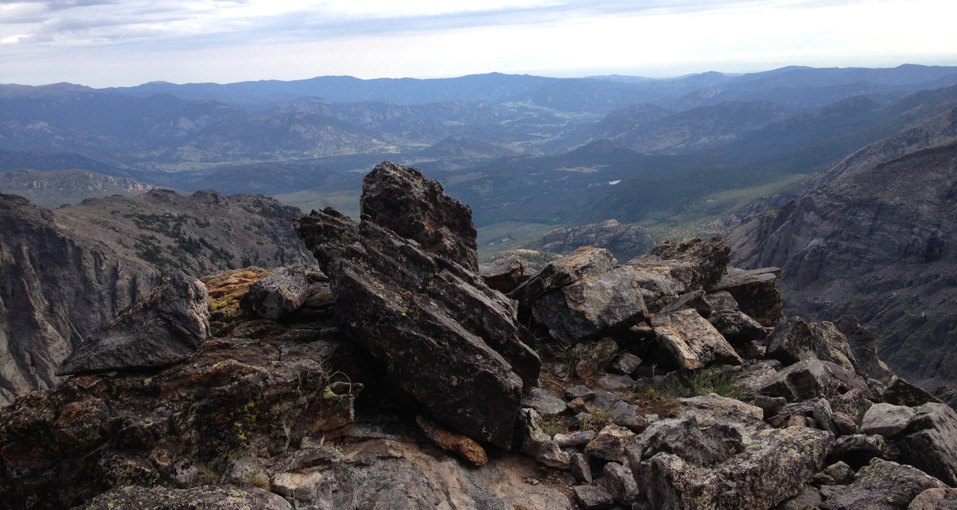
Mt Evans summit on the left with Summit Lake and the highest paved road in the USA below (taken in 2002).
On July 26, 2014, full of cycling confidence after successfully completing the Triple Bypass Ride (120 miles; 11,000′ climbing) two weeks before, I started riding up toward the summit of Mt Evans once again, this time from Idaho Springs, a little over 27 miles away and nearly 7,000 feet below. The 49th Annual Bob Cook Memorial Mt. Evans Hill Climb would keep the cars away and bring my dignity within reach.
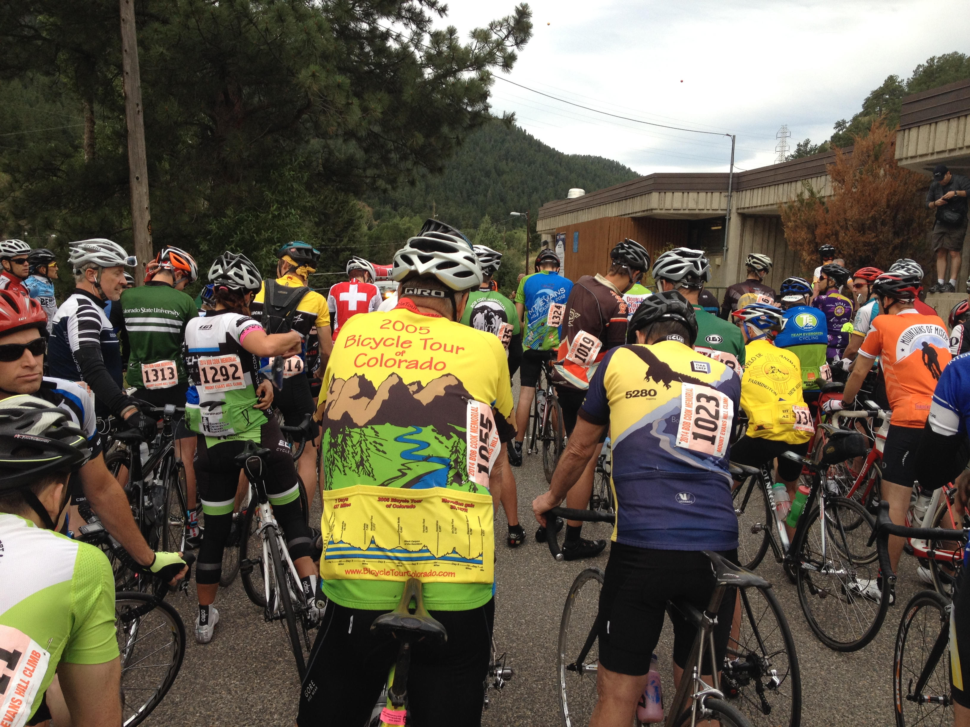
Awaiting the start of the Mt Evans HIll Climb Gran Fondo
The Gran Fondo didn’t start until 7:20am, but I needed to arrive before 6am to carry out a number of tasks:
- avoid long delays for I-70 tunnel blasting (did it)
- secure a reasonably close-in parking spot (did it)
- have enough time to get my race packet containing my race numbers which had to be pasted/pinned to the various parts of my body and bike (did it)
- send some clothes to the summit to wear on the ride down (decided I didn’t need to do it; big mistake)
- secure a good placement in the Gran Fondo mass start (did it)
The Mt Evans Hill Climb came highly recommended. It is advertised as one of the great cycling climbs in North America; not only a test of physical fitness, but also a means to measure a rider’s mental toughness. Heck, I guess there just aren’t many places where riders can climb for hours on end without a rest, which must be the definition of ‘awesome’ in cycling climber-speak. Starting in Idaho Springs, road grades to Echo Lake average 3.5% for 6.7 miles and 5.8% for 5.8 miles. Echo Lake to the summit averages 5.6% for 5.5 miles, then 4.1% for 2.7 miles and finally 5.7% for 4.25 miles through 11 switchbacks to the top. Still, the experienced riders say the Mt Evans Hill Climb isn’t hard due to the grade. It’s hard due to (1) length of the climb, (2) the gain in altitude, (3) the high altitude (low oxygen) reducing the ability to produce power, and (4) the challenge of staying hydrated due to drier air.
 They also say, half of the challenge is in the mind, and patience is the key: ‘focus on small victories along the way’, ‘focus on the 10 feet in front of you’, and ‘find a mantra to repeat or sing to yourself for motivation’. And, lastly, ‘when you reach the summit, take in the splendor and accomplishment of riding up one of the highest peaks in America.’
Anyway, they had me at ‘no cars’.
Heading up on the relatively flat road out of Idaho Springs, I found myself conflicted between my twin objectives: (1) conserve energy to make sure I could finish (ego preservation) and (2) go fast enough to beat my 3 hour time estimate (ego maximization). This internal conflict was made more difficult by my lack of bike computer or even a watch; I couldn’t tell how hard I was working or how fast I was going. I had to go on feel alone.
The pack thinned out pretty well after the initial few miles. The very fast riders were quickly gone, never to be seen again. Luckily, I did find a strong rider my age who was pulling a pace just above what I liked; he must have started further back in the pack and passed me a few miles in.
I figured I’d stay on his wheel for as long as I could, which turned out to be quite a while. He was a chatty fellow out of Grand Junction, having a quick conversation with everyone we passed along the way. As we approached Echo Lake, I was looking forward to taking a short but needed rest while I refilled my water bottles. We sprinted along the lake, taking advantage of the short downhill section just before the Ranger Station; I had no problem burning through my energy reserves knowing I had a rest coming. As we neared the Ranger Station, I could see the aid station was not what I expected. They were handing out filled water bottles as we went by…no stopping. No rest. I was going to have to do the 27.4 miles and nearly 7,000′ in a single push, doubling the height of any single climb I had ever done.
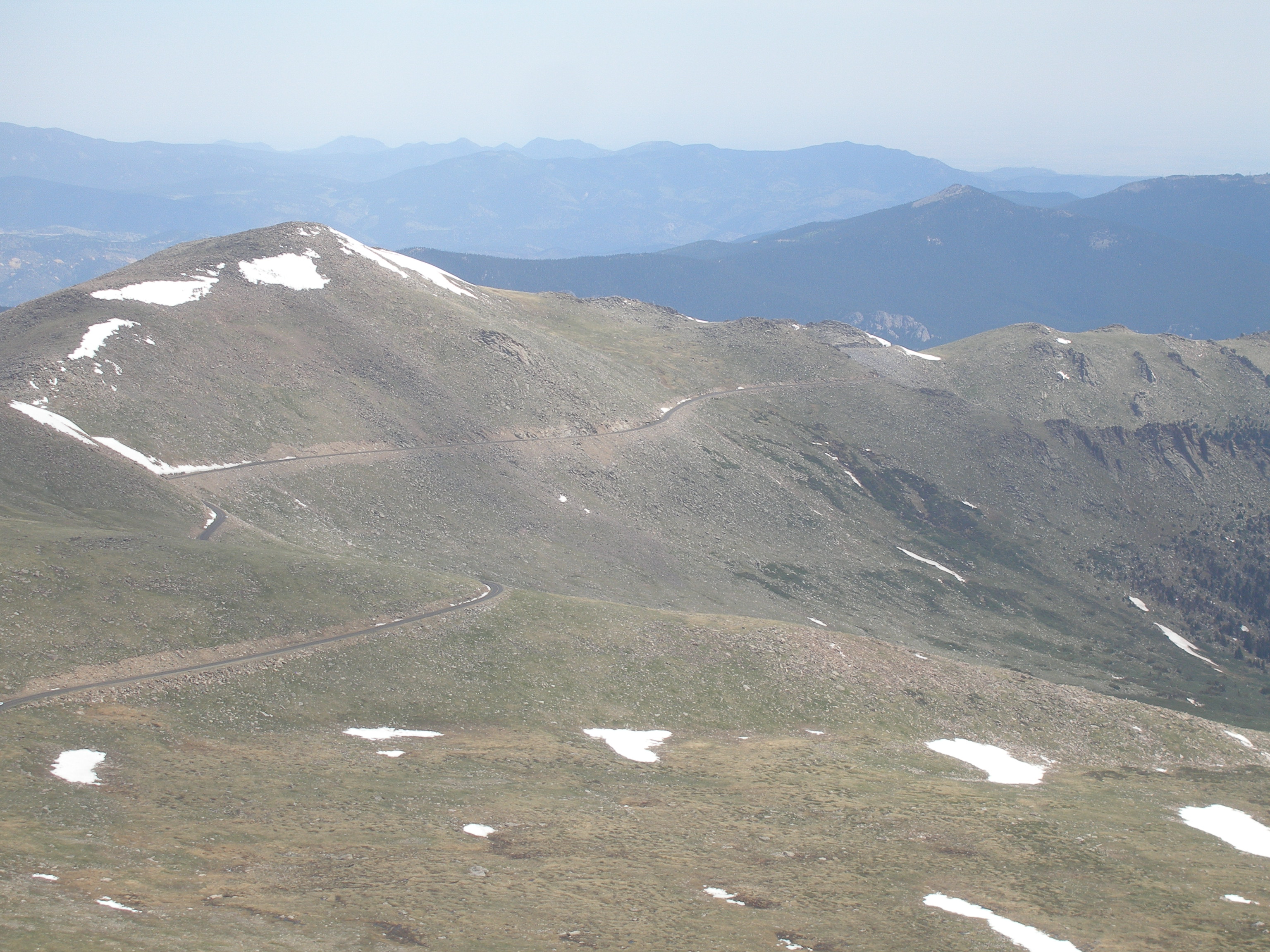
Mt Evans road above treeline (CDOT photo)
As we got above treeline, I was starting to struggle to stay with my ‘rabbit’. We did have a chat along the way where I assured him that I would not have brought my cyclocross bike up Mt Evans if I had a lighter weight bike. He estimated we were on a 3 hour pace, which by then sounded like a very good time. Around mile marker 5 above the Ranger Station, my rabbit got away from me and my tiring legs; and I picked up another, somewhat slower host.
This point is also about where the riders can see the rest of the ride, and I assure you it is a soul crushing sight to see so many miles of winding, treeless road that must be ridden before a rest. Fortunately, I had been scarred by this sight 10 years earlier and was psychologically buffered against such a reaction. I followed my new rabbit to about mile market 9 where I passed him on the short descent to Summit Lake (12,830′) over shockingly rough, winter-broken road.

Joe nearing the top of the Mt Evans Rd
The 1/4 mile downhill ended at a sharp left bend which led to a final 5-mile, 1,400′ climb along guardrail-less road hanging over cliffs above oblivion. And, for the first time, I was alone, riding up the first of 11 switchbacks all by myself, battling the wind without any help. I could feel the growing empty spaces in my body that used to contain my vast reserves of energy. And, now, the altitude was getting very high, and my limiting factor was shifting from muscle strength to available oxygen. Unable to collect enough oxygen to fully power what remained of my muscles, my body temperature plunged.
I kept spinning my legs. I also kept looking up to catch of glimpse of something familiar, something to give me hope of a near conclusion. This was an incredible, memorable ride, but I wanted it to be over.
I finally could see the astronomical observatory tower located near the summit, and then I knew the end was near. I kept spinning my legs. I knew to look for mile marker 14, the signal for the final half-mile; but, I couldn’t remember to look at the signs as they went by. I kept spinning my legs.

The money shot.
I came around a final right hand switch back to find a 100 yard sprint finish, but, I had no ‘kick’ to give. I kept spinning my legs, and crossed the finish line at 10:13am for a ride time of 2 hours & 53 minutes. This time represented an average speed of 9.5 miles per hour, below my hoped for 10 mph which was based on nothing. I was never so happy to be finished with a ride.
26th of 85 riders in my age group who finished the ride (31st percentile)
78th of 334 gran fondo riders who finished the ride (23rd percentile)
I rode my bike over to the Mt Evans sign to collect a personalized photo. When I finished (see photo), I looked back toward the parking lot to find the food and water. Instead found a man standing in front of me. It was Brian!
I nearly had a heart attack over the shock of his presence. Brian explained that he had climbed Mt Beirstadt and then traversed the Sawtooth Ridge to Mt Evans to say hello. I am often amazed by my cancer surviving, great friend.

Joe and Brian on Mt Evans, in front of the ruined Crest House, a restaurant and a gift shop that burned down on September 1, 1979
As we chatted about the day, I started shivering. I realized then that I should have had a jacket brought to the summit for me to wear while riding down at 30-40 mph through the cool air. Later, I found out that the all-time high temperature measured for the Mt Evans summit is 65F. This wasn’t it (45F). There was little wind on the summit, but flying downhill on my bike was going to be brutal. But Brian saved the day by giving me his fleece jacket to wear on my descent. What a guy.
The descent to Summit Lake was still freezing. I flew down the steep, twisting road, teeth chattering and hopping the bike over the worst of the cracks in the pavement. The short climb from Summit Lake warmed me enough to stop the shivering, but the road was still a broken and cracked mess. Once past the Ranger Station, the descent into Idaho Springs was a delight. With good roads and minimal traffic, got my speed fix for the day.
And, then it was over. I had done it right this time. I had reclaimed my dignity and even captured a bit of pride to call my own.
Now I just need to do the Pikes Peak ride to earn that “14er x 2 Cycling Cap” I’d read about. Who wants to join me?